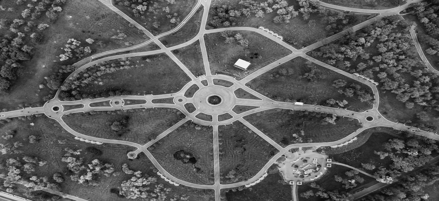
In the competitive world of real estate, the quest for the perfect listing presentation has led to a remarkable technological evolution – the rise of aerial imagery. No longer confined to the realm of luxury properties, drone photography and videography are now key players in real estate marketing, offering a fresh and dynamic perspective that ground-level photography simply can’t match. This innovative approach not only captivates potential buyers but also provides a comprehensive view that significantly enhances property listings. In this article, we’ll explore the myriad ways aerial imagery is transforming how properties are showcased, from providing a bird’s-eye view of the surrounding area to highlighting unique features of the property, and how it’s revolutionizing video tours in the real estate industry.
Aerial imagery in real estate isn’t just about capturing the structure of a property; it’s an art form that involves getting the perfect angle to highlight the property’s best features. Drone photography allows for a versatile range of angles and elevations, offering views that traditional photography can’t achieve. This flexibility is key in accentuating aspects like sprawling backyards, elegant pools, or even unique roofing designs. These elevated shots provide potential buyers with a comprehensive understanding of the property’s layout, its relation to neighboring properties, and the overall feel of the space.
Moreover, aerial imagery gives an unparalleled understanding of the surrounding area. It’s not just about the property itself; it’s about its place in the larger context of the neighborhood. Prospective buyers get to see proximity to amenities like parks, schools, or shopping centers, adding another layer of appeal to the listing. Aerial shots can capture the essence of the locality – whether it’s the quiet solitude of a countryside home or the bustling energy of an urban residence.
In essence, aerial imagery does more than just show a property; it tells its story. By getting the perfect angle and showcasing the property in its entirety, including its surroundings, real estate listings become more than just a collection of images – they become a window into what life could be like in a new home.
The power of aerial imagery in real estate is further amplified by the use of drone video tours. These tours offer a dynamic and immersive experience, allowing prospective buyers to virtually navigate through the property. Unlike static images, a well-crafted video tour can convey the flow and interconnectedness of different spaces within a property. It’s akin to walking through the home, but with the added advantage of seeing it from breathtaking aerial viewpoints. This immersive experience is particularly beneficial for out-of-town buyers or those wanting a comprehensive preview before an in-person visit.
In addition to the visual appeal, drone videos can incorporate property line marking. This is a crucial feature for potential buyers, providing a clear understanding of property boundaries and the extent of the land. It’s particularly useful in large estates or rural properties where boundaries might not be immediately obvious. Property line marking in aerial footage offers a precise and easy-to-understand visual reference, aiding buyers in their decision-making process.
By combining the storytelling aspects of video tours with practical elements like property line marking, aerial drone services bring a new dimension to real estate listings. They not only enhance the visual appeal but also provide functional value, making listings more informative and engaging for potential buyers.
As we’ve explored, the integration of aerial imagery in real estate listings is more than a trend; it’s a transformative approach that offers a comprehensive and engaging view of properties. The unique perspectives gained through drone photography and videography not only highlight property features and surroundings but also provide an immersive experience through video tours and clear delineation of property lines. These tools have become indispensable for modern real estate marketing, offering sellers a competitive edge and providing buyers with a more informative and captivating view of their potential new homes.
Stay updated with the latest insights and developments in aerial real estate photography by subscribing to our blog. For any inquiries or to learn how Mac’s Aerial can elevate your real estate listings with professional drone services, don’t hesitate to contact us. We’re here to help you unlock new perspectives and possibilities in real estate showcasing.


